Winter weather mayhem continued to plague the Portland area throughout Portland State’s holiday break, which began Dec. 11, amidst a rainy stint that would go on to break precipitation records for the area.
Portland is no slouch when it comes to winter rainfall, with an average of over two-thirds of the city’s precipitation spilling over the downtown area from Nov-March, according to National Oceanic and Atmospheric Administration assessments. But as NOAA noted, last month set records for the wettest calendar day (Dec. 7), 24 days of consecutive rain and wettest December at the Portland International Airport at 15.24” of rainfall.
December’s precipitation appears to be carrying into the new year and the start of winter term, with current forecasts by the National Weather Service of rain carrying into the weekend.
While weeklong stints of winter rain are commonplace in Portland and the Pacific Northwest, the ongoing trend flies in the face of forecasts on the effects of the 2015-16 El Niño event. Described in a Dec. 21 advisory statement by the Oregon Department of Agriculture and the Oregon Departure of Forestry as very strong, El Niño was projected to produce a mild, dry winter for the Pacific Northwest.
But the advisory statement also pointed to a lack of sufficient analogs to make a clear forecast, noting “the precipitation forecast is less certain.”
El Niño is a weather event characterized by warm temperatures in the Pacific Ocean, which impact temperature and precipitation on a global scale. Weather effects include “increased rainfall across the southern tier of the U.S. and in Peru, which has caused destructive flooding, and drought in the West Pacific,” according to NOAA.
NOAA also predicted a warmer, drier winter for the region this winter as late as September, a forecast contested by the meteorologists at KGW-TV. Weekend-evening meteorologist Rod Hill pointed to a viewer question during a broadcast about the Dec. 10 tornado in Battle Ground, Wash.
“It’s a record wettest December; was it all tied to El Niño?” Hill said. “I said yes.”
Hill pointed to KGW-TV reports as early as July refuting NOAA’s predictions and forecasting a wet winter on account of the El Niño event.
“What we started to tell people in early fall, late summer, is that the strongest El Niño we’ve seen so far is an extreme weather event; it’s expected to produce extreme weather events,” Hill said. “You can get a little dicier when you get into individual weather events, but I think when they look back at this years from now, they’re going to pin it on El Niño, absolutely.”
“Confidence was high that we were not going to be dry, we were going to have a good, solid water year,” Hill said.
Following is a look back at how weather has shaped up for the winter thus far.
December Floods
Persistent storming left parts of Portland flooded in rain and sewage backup in early December, leaving residents stranded and many streets submerged. The flooding drove landslides and road closures elsewhere in the state, forcing Gov. Kate Brown to declare a state of emergency for 13 counties on Dec. 10.
The December storm front also produced an EF-1 tornado in Battle Ground, Wash. with winds in excess of 100 miles per hour, according to KPTV.
A storm called Ferus
Winter Storm Ferus blasted the west coast from Washington to northern California with a combination of rain, snow and wind from Dec. 21-23.
The Portland area was subject to wind gusts reaching 55 miles per hour at the Portland International Airport on Dec. 21, according to the National Weather Service. The brief windstorm left trees and downed power lines in its wake, forcing Trimet into service delays and damaging property and vehicles throughout the area, including near PSU campus.
January: this week and ahead
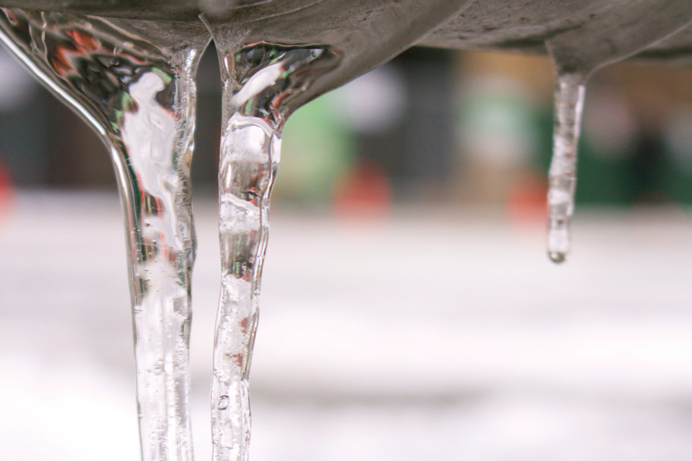
As of this reporting, Portland was subject to roughly three inches of snowfall over Monday evening, with a layer of ice added overnight as temperatures remained below freezing. The university canceled the first day of winter term classes, an overnight upgrade from a two-hour delay as of Sunday night. KGW-TV forecasted warmer, drier weather for the midweek before heading into the weekend.
According to Hill, it all depends on whether temperatures pull and remain above freezing.
“The matter at hand right now is getting Portland’s temperature up, which is a slow, grueling, tooth-pulling process,” he said. “Help soften the ice, if you will.”
Hill also looked ahead, predicting a winter advancing with average or greater-than-normal rainfall. But he also cautioned that El Niño could produce additional weather events in the coming weeks.
“I think this El Niño pattern has a potential to shift somewhat and shoot our snow levels up higher,” he said. “I can’t say that’s going to happen. We do have the snow right now, but this El Niño pattern is inherently warm, overall.”


